We were thankful for the hospitality of others once more as we entered Alberta. Shawn and Amber, family of our Workaway hosts in Edgewater, had generously agreed to accommodate us for a few days in their Calgary home. We played a bunch of different board and video games with Shawn while we were there (Mario Kart and Mario Party were a highlight), and he took us out for a short tour of the city. We played with their puppy, hung out with their two young boys, and even had a family outing to get ice cream together.
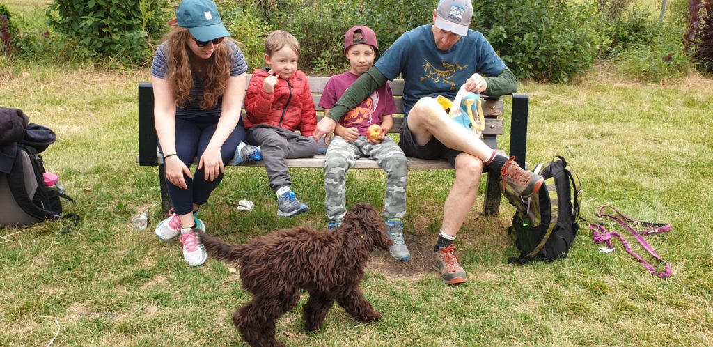
Spending time with Shawn and the family at the park 
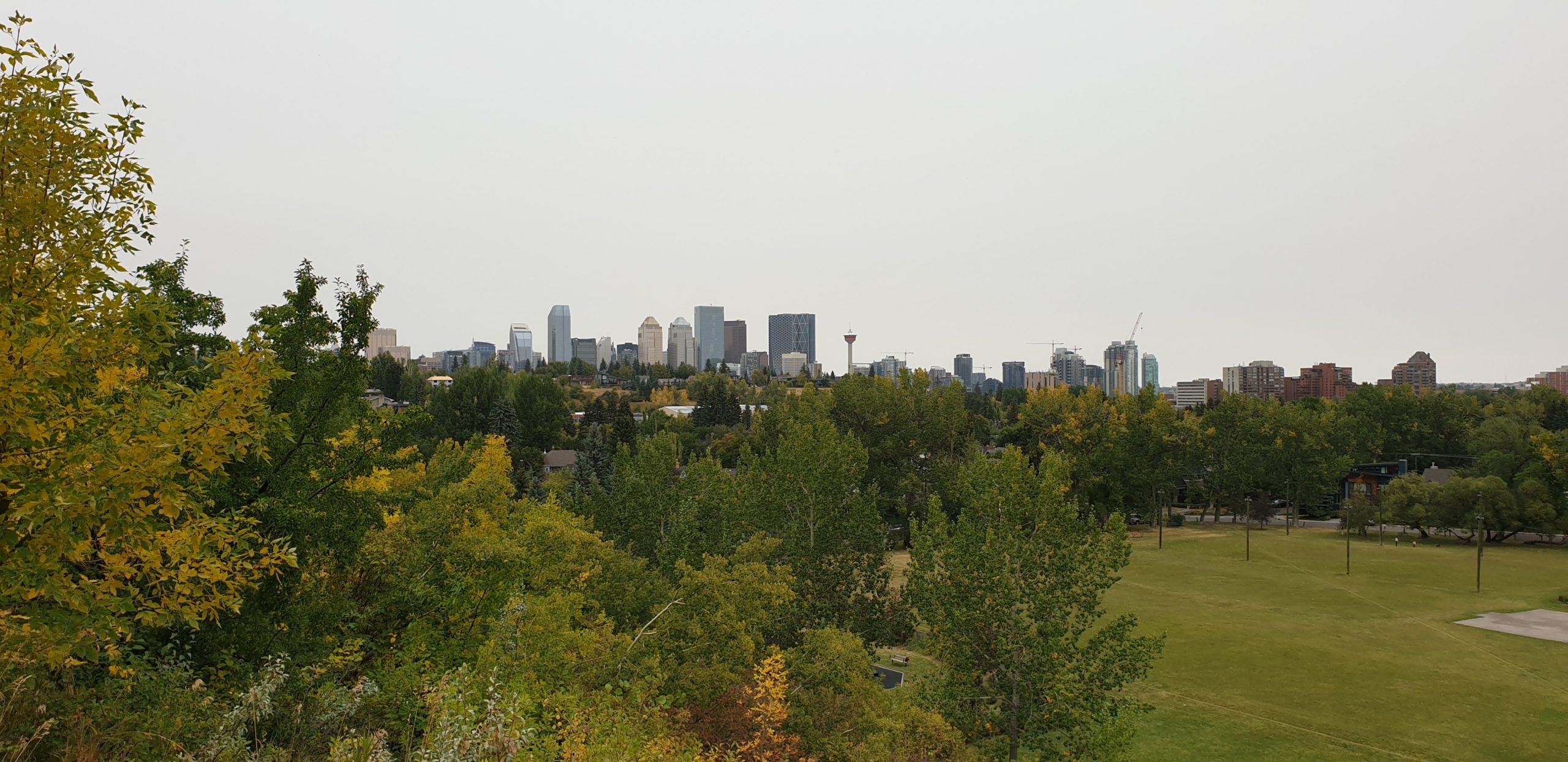
View of the Calgary skyline

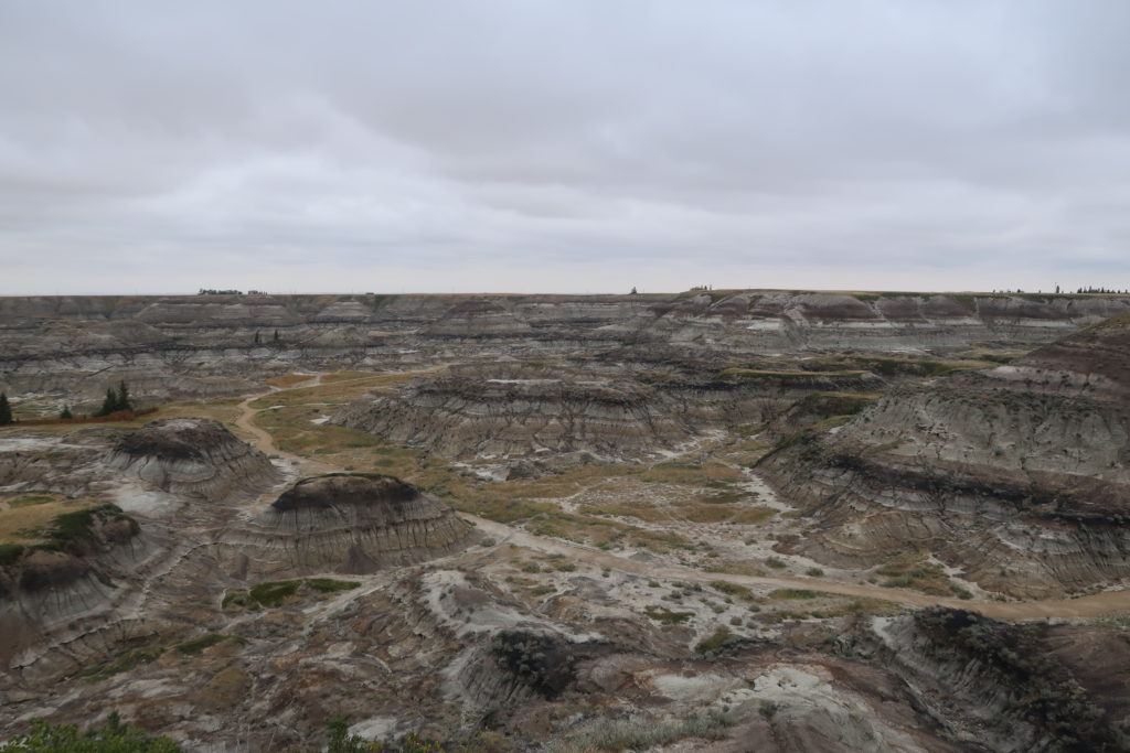
On the last day of our stay, with Shawn at work and the kids in school, we went on a day trip to the nearby town of Drumheller. It was an hour and half each way on flat, straight roads, with large fields of pasture or hay bales most of the way. Once we reached the town, we finally encountered the impressive badlands we had heard about, a distinctive feature of the region – basically, they’re small but interestingly-shaped canyons, often hidden from view until you’re right next to them.
View from our first stop, Horseshoe Canyon 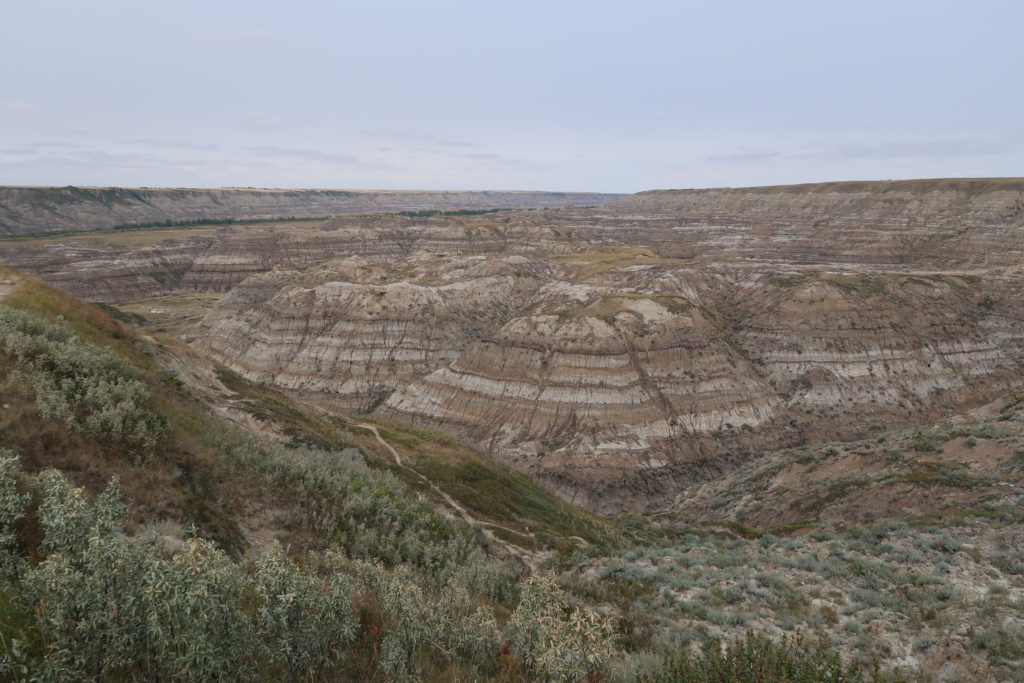
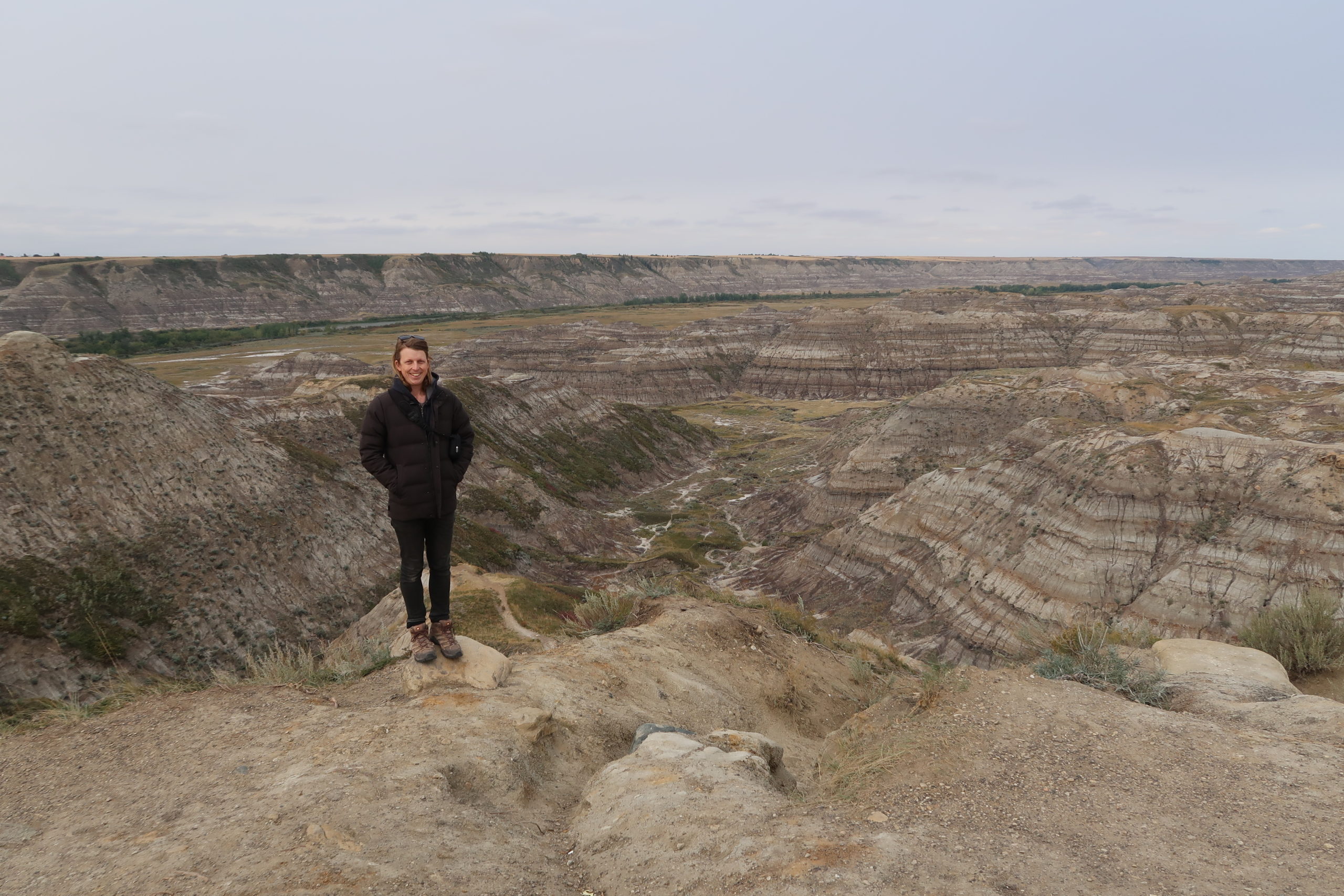
The larger Horsethief Canyon stretches into the distance 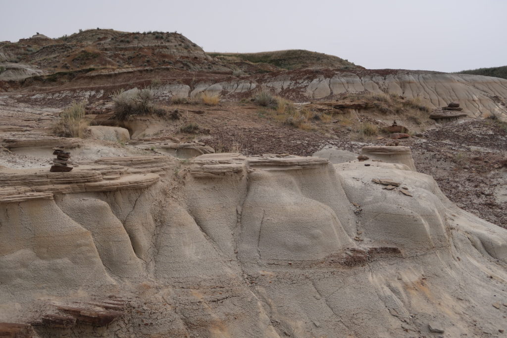
Some interesting rock formations characteristic of the badlands
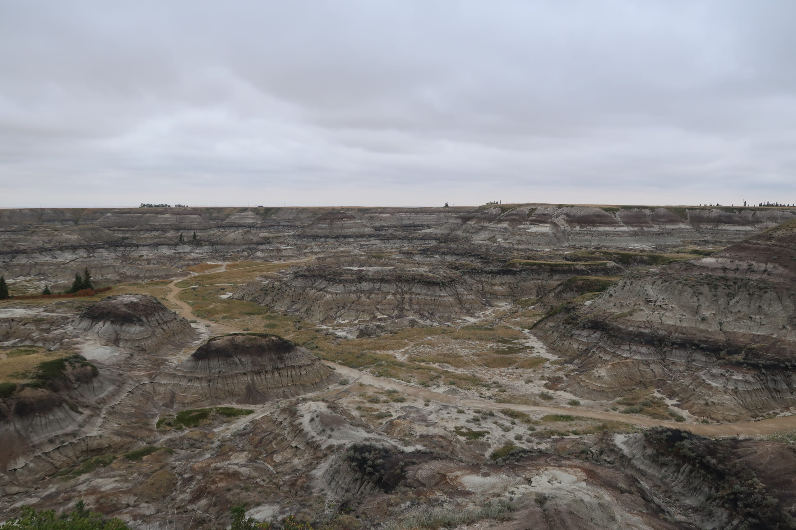


The landscape of the badlands was dramatic and something we hadn’t seen before. Caused by rapid glacial meltwater around 13,000 years before, soft clay-rich rocks eroded to form the intricate network of channels that made up the fractured landscape. After driving more than a hundred kilometres with flat horizons, it was refreshing to walk down in the badlands, surrounded by the unique rocky peaks and slopes. We visited two spots that showcased the badlands beauty: Horseshoe Canyon and Horsethief Canyon. Horseshoe was named for its U shape, and Horsethief for the horses that would “disappear” within them, only to appear rebranded (i.e. stolen) later. Both spots had a short walk, and we were pleased we didn’t have to hike a long way to appreciate the scenery on this occasion!
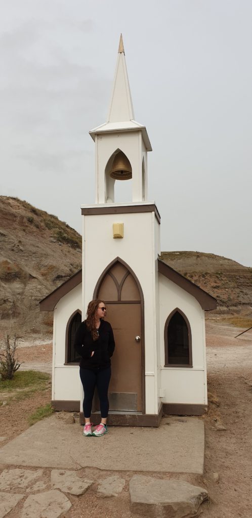
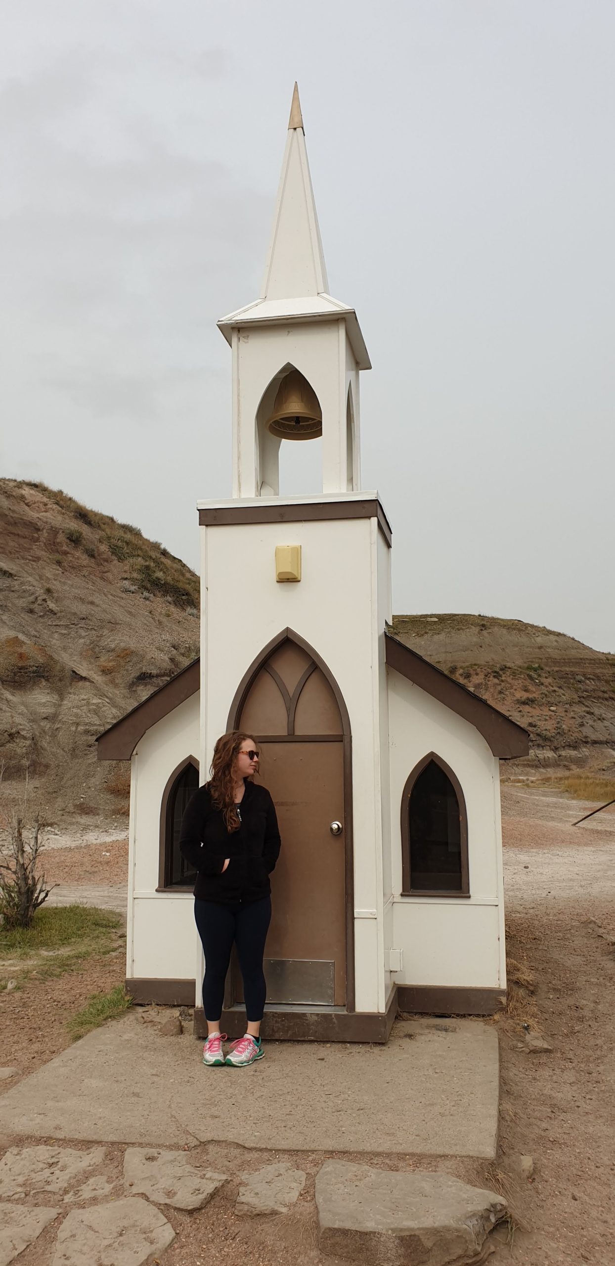
We stopped briefly at The Little Church, built in 1968, just outside of Drumheller 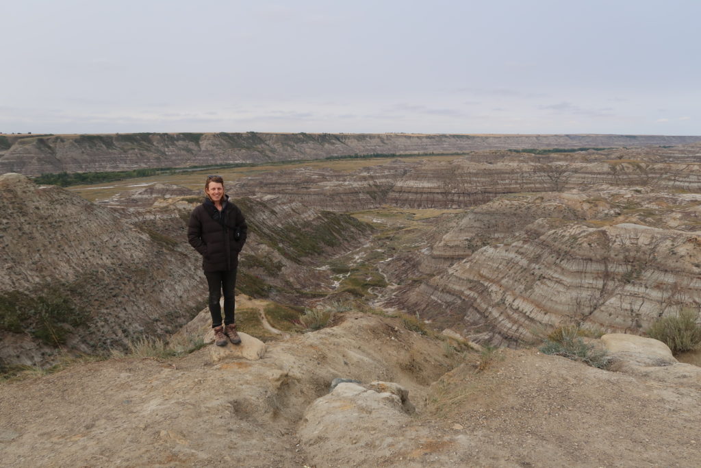
Enjoying the view of Horsethief Canyon
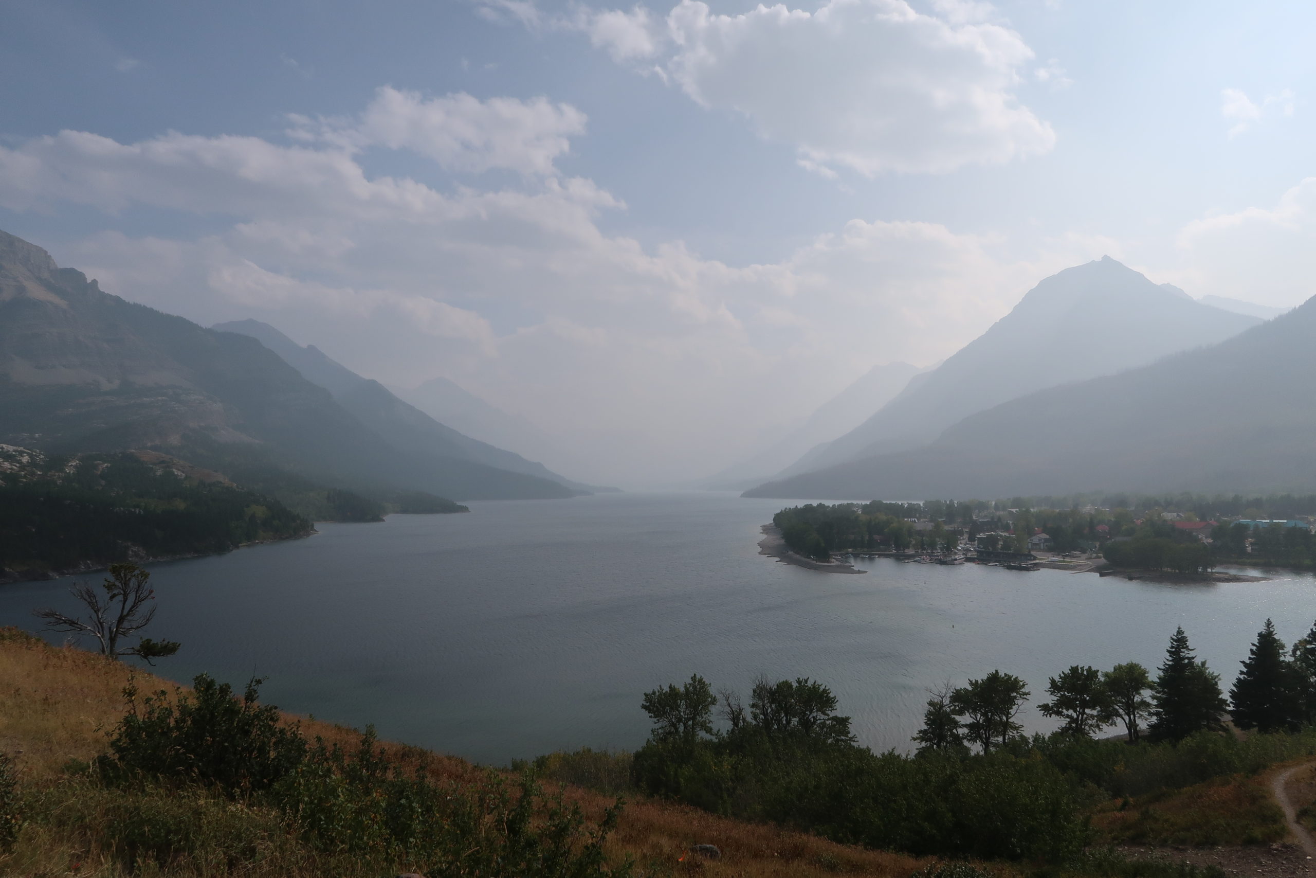
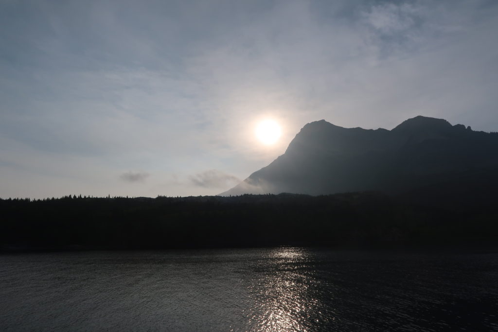
At the time of our trip, wildfires in California and Washington were producing huge amounts of smoke that drifted up into BC, Alberta, and even further across Canada. While the effects of the smoke hadn’t seemed so significant in Calgary, we certainly noticed it as we drove south towards Waterton Lakes National Park. The distant scenery was obscured by a grey haze, but we learned that it had been even worse before our arrival – some days previously, we would not have been able to see across Upper Waterton Lake at all, a distance of only about 500m. Fortunately, the weather was sunny (although somewhat muted by the smoke), and we made use of the picnic tables overlooking the cute town of Waterton and the marina.
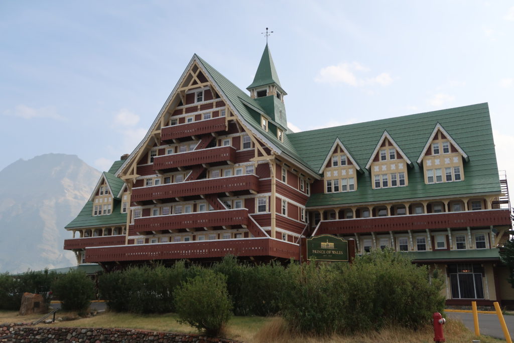
The picturesque Prince of Wales hotel, grandly set on a hill in Waterton Lakes 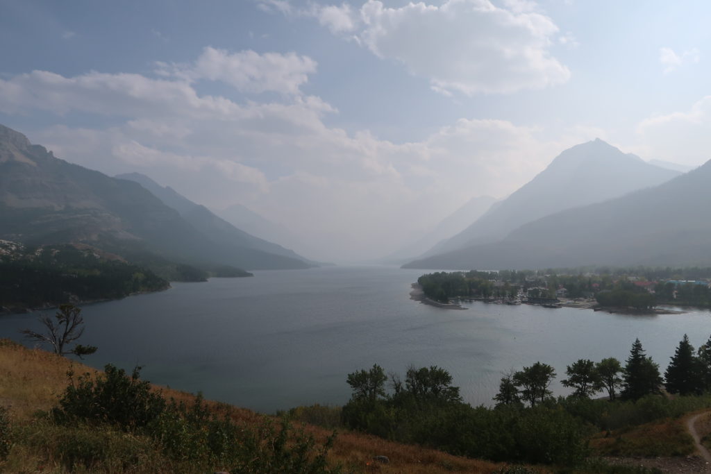
Looking south over Upper Waterton Lake, with the township and marina visible on the right hand side

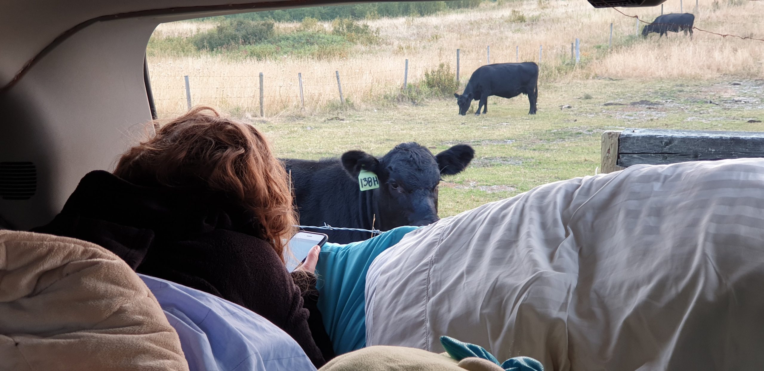
Part of the park had been devastated by its own wildfire only a few years before, but the Crypt Lake hike we had planned for the next day was in an area that had not been affected. Rated as one of the top 20 hikes worldwide by National Geographic, we would first need to take a short ferry ride to the trailhead before walking up to the eponymous lake at the end of the trail. The elevation was moderate by BC standards (only 1000m) but the distance was almost 21km return, although it promised some great views of the surrounding mountains and Upper Waterton Lake on the way. Hoping it would live up to expectations, we bought our tickets for the ferry and drove to our free camping spot just outside of the park boundary, near a paddock with some friendly cows, and a surprisingly good view back towards the park.

Moo! Curious cows next to our car 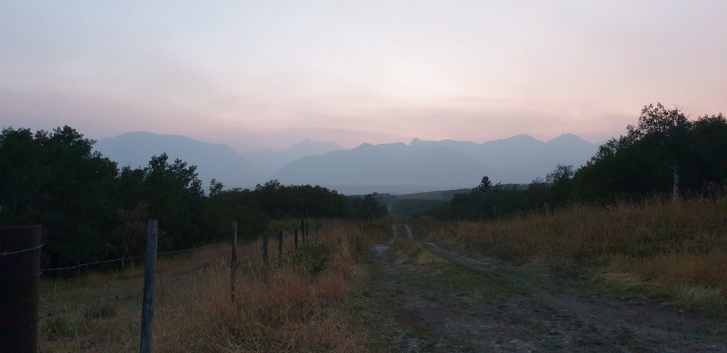
A hazy sunset from the camping spot

We were surprised that the ferry ride over was quite full – around 30 other people were doing the hike on the same weekday as us. On the ride over, we also learned that the bear bells some hikers attach to their packs have actually been shown to make bears more curious, rather than frighten them away, and so the boat driver said they called them “dinner bells”! (The most effective bear deterrent is actually proven to be the human voice.) Fortunately, we didn’t encounter any bears on the trail, but we did come across (and sample) a few wild raspberries! We also spotted a timid marmot close to the summit, as well as some jumping fish at Crypt Lake. Interestingly, the lake is just north the US border, so the opposite side of the adjacent mountain is actually in Montana.
Another sunny day as we went to the trailhead 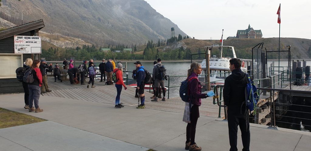
Lots of other hikers were on the ferry 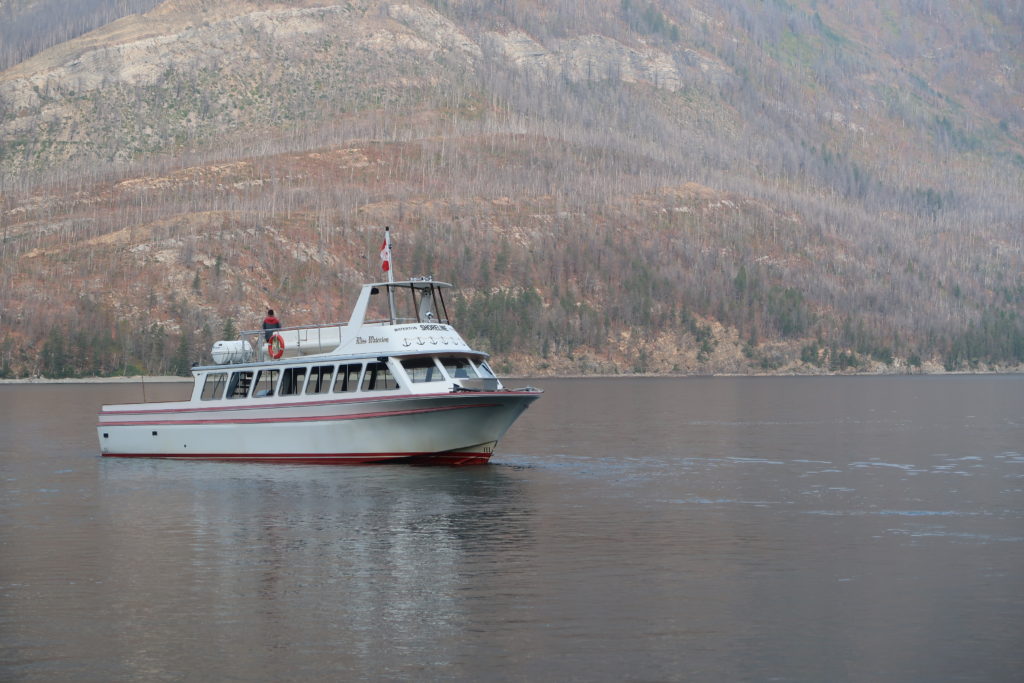
The ferry that dropped us off, with the wildfire damage visible in the background 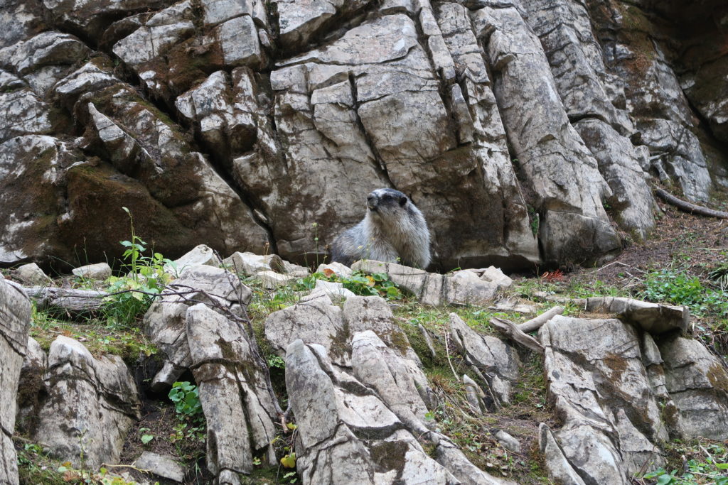
A marmot! 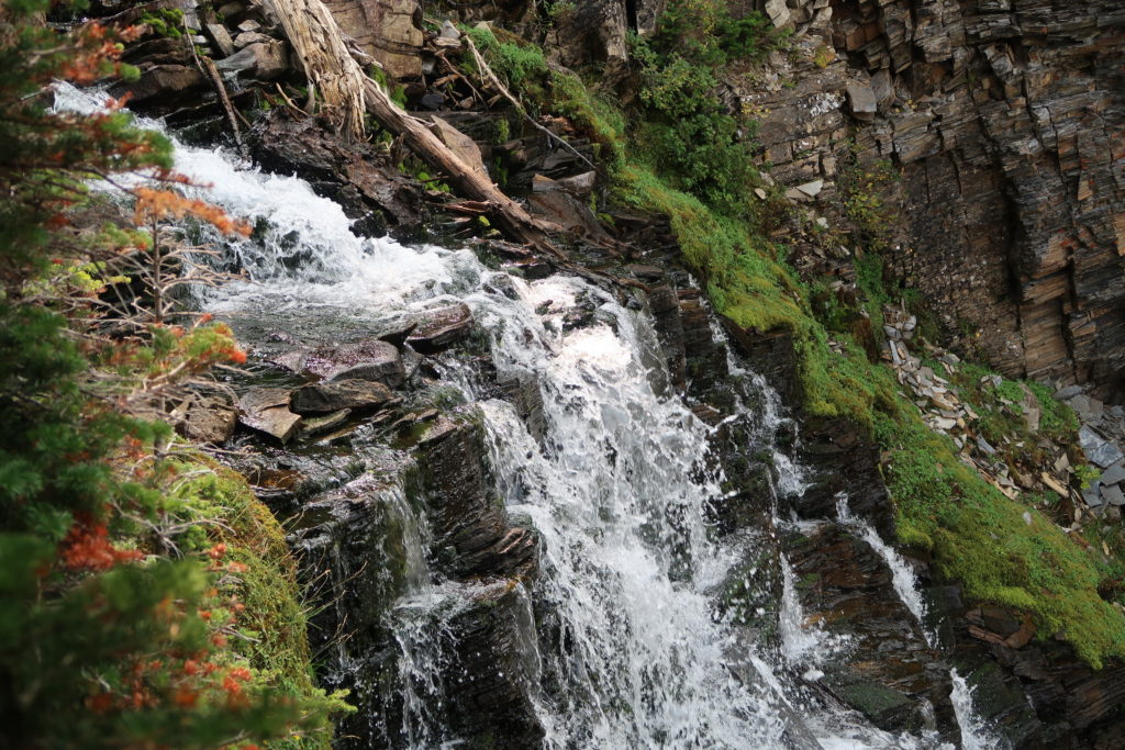
This waterfall leads from Crypt Lake to the smaller lake in the valley below

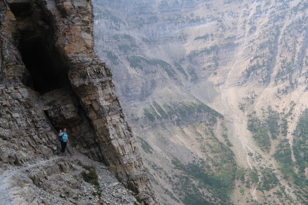
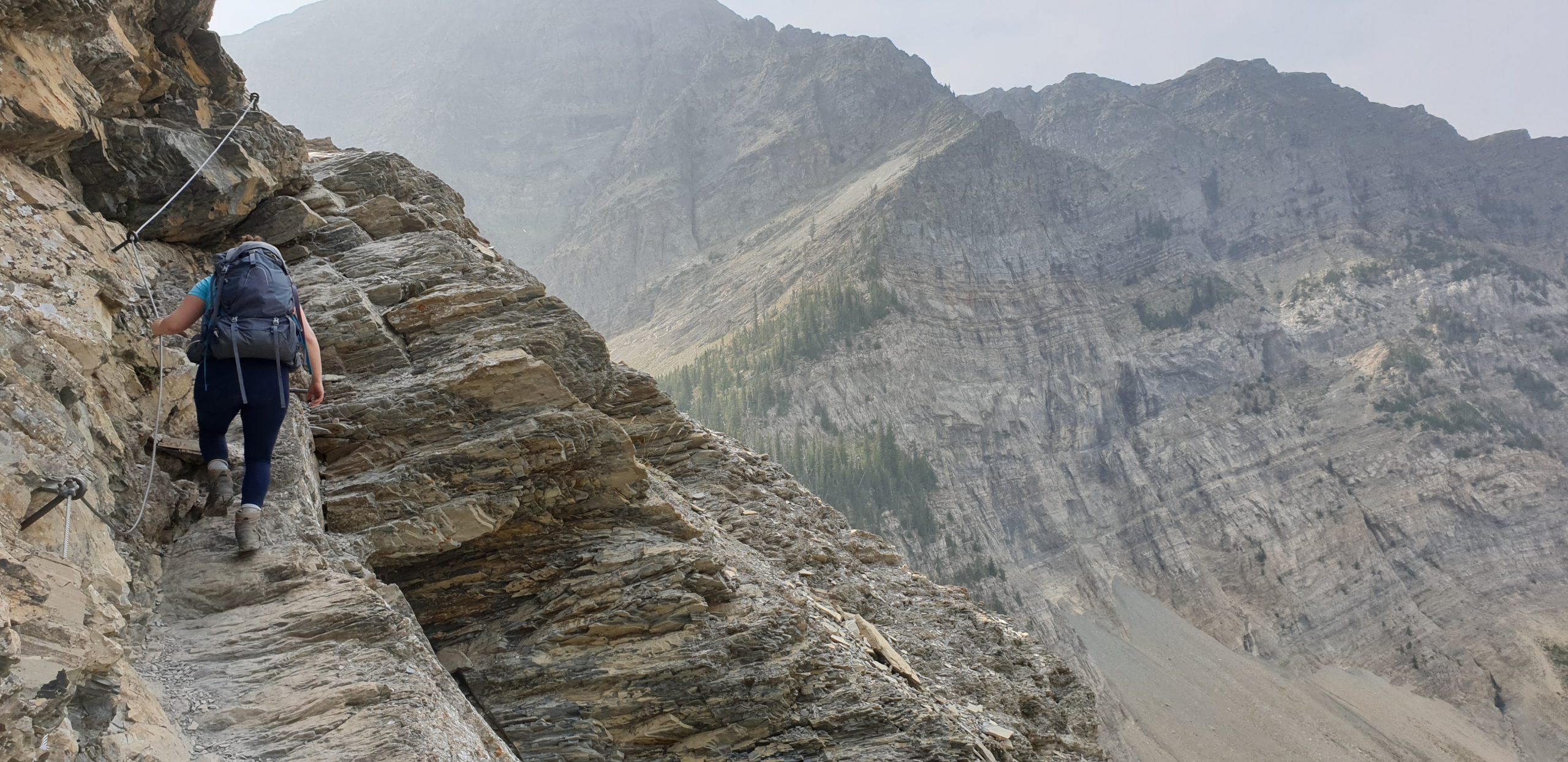
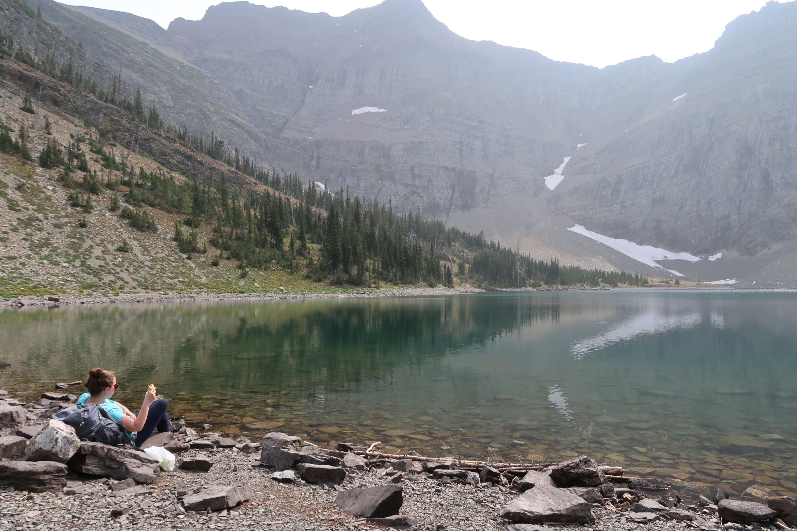
Although the lake itself was pretty enough, the real highlight was the stunning view just before it. The trail hugged a rocky slope on one side, while the other was totally open to the surrounding mountains and the forest and lake in the valley below. A short tunnel blasted through the rock and some cable handholds also made the final path to the lake more interesting. Once there, we didn’t have much time to relax, as we needed to be back on time for the return ferry. We enjoyed a well-deserved lunch on the shore, then completed the loop around the lake before heading back down. It was great being able to see the valley in front of us as we descended, and the afternoon sunlight made the early autumn colours of the forested trail sections glow.

About to go through the tunnel! 
The cable section just before reaching the lake 
Lunch break at Crypt Lake 
Looking back towards the entrance to the lake 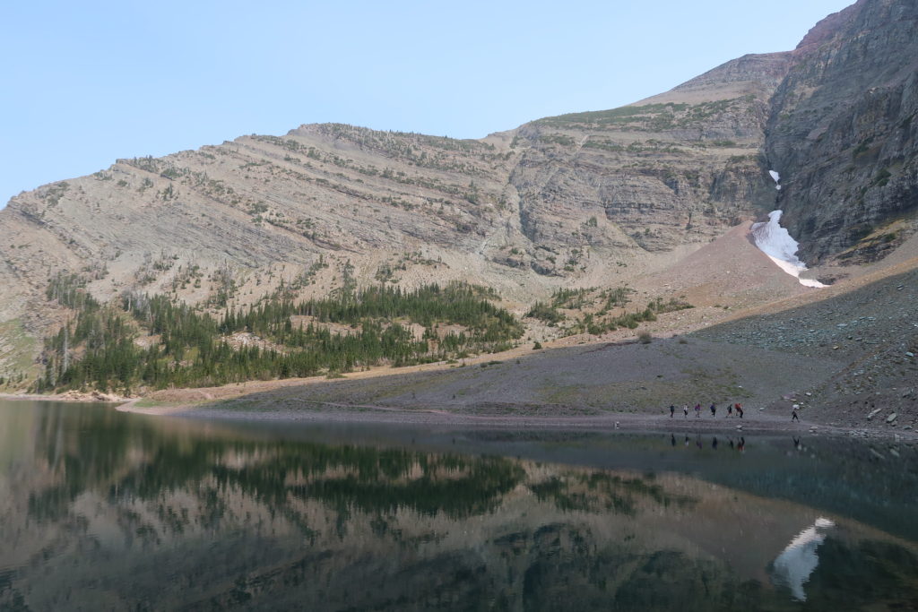
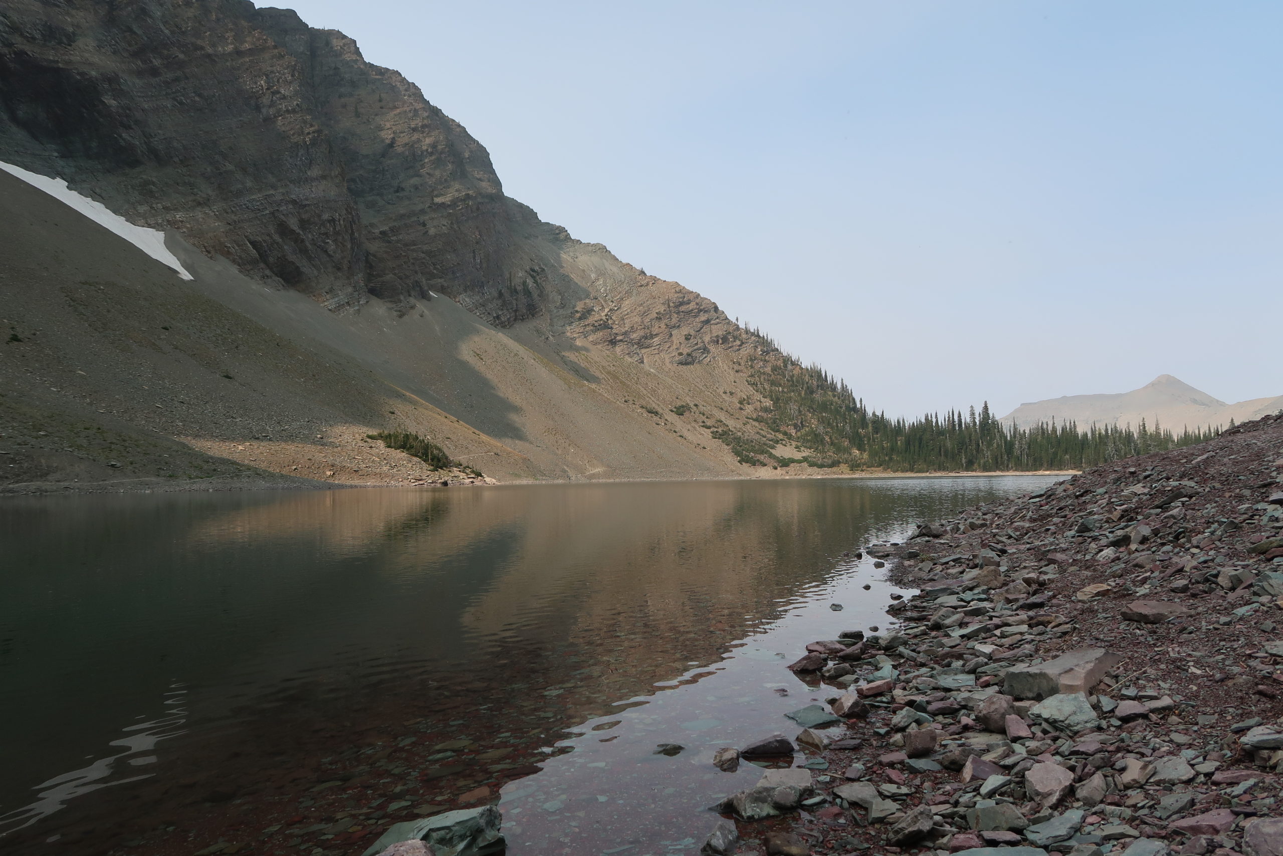
Beautifully still water 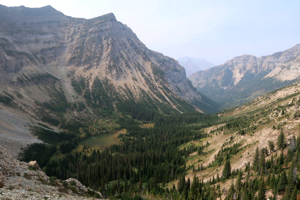
Looking back down the valley on the return journey


Once back in Waterton, we made use of the town’s picnic tables for preparing our dinner, and had a quick (and somewhat self-conscious) wash in the lake, which was just on the warm side of too chilly. We headed back to the same campsite, pleased to have a rest from walking the next morning, when we would be driving to another province and national park – Grasslands.
Leave a Reply
You must be logged in to post a comment.